
Click here for the live radar.
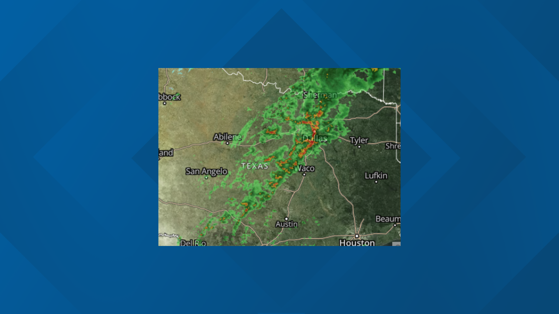
There is a chance of storms area-wide Thursday as a Norther' pushes south through the region. A few strong to marginally severe storms containing hail and gusty winds will be possible, mainly across Central Texas in the early evening.
Locally, heavy rainfall may result in minor flooding through the night.
Widespread rain and occasional thunderstorms will remain possible within the colder air behind the cold front on Friday with storms ending from west to east Friday night. No severe weather is expected.
Our next system will begin diving south as we move into early next week. A lead mid-level impulse exiting this long wave trough across the Central Plains Sunday night and Monday will help draw another cold front into the area.
This cold front will mainly reinforce the cool and dry fall conditions across Central Texas on Monday with highs in the 60s north to near 70 degrees south of Highway 84.
Low thunderstorm chances will return to the region Tuesday and Wednesday.
Tonight, showers and thunderstorms before 1 a.m., then showers likely and possibly a thunderstorm after 1 a.m. Some of the storms could produce heavy rainfall. Low around 47. North northwest wind 10 to 15 mph increasing to 15 to 20 mph after midnight. Winds could gust as high as 30 mph. Chance of precipitation is 100%. New rainfall amounts between 1 and 2 inches possible.
Friday: A 40 percent chance of showers and thunderstorms, mainly before 1 p.m. Cloudy, with a high near 52. Breezy, with a north northwest wind 20 to 25 mph, with gusts as high as 35 mph.
Friday Night: A 20 percent chance of rain before 1 a.m. Mostly cloudy, with a low around 43. Northwest wind 10 to 20 mph, with gusts as high as 30 mph.
Saturday: Mostly sunny, with a high near 67. Northwest wind 5 to 10 mph.
Saturday Night: Mostly clear, with a low around 44. Calm wind becoming south around 5 mph after midnight.
Sunday: Sunny, with a high near 73. South wind 5 to 10 mph.
Sunday Night: Clear, with a low around 46. South southeast wind around 5 mph becoming west after midnight.
Monday: Sunny, with a high near 69. North northwest wind around 10 mph.
Monday Night: Mostly clear, with a low around 45.
Tuesday: A 30 percent chance of showers and thunderstorms. Partly sunny, with a high near 67.
Tuesday Night: A 30 percent chance of showers and thunderstorms. Mostly cloudy, with a low around 43.
Wednesday: A 20 percent chance of showers. Partly sunny, with a high near 60.
Popular on KCENTV.com: