
WACO, Texas — We all know the City of Waco has developed rapidly in the past several years. The growth has been tremendous, especially with Chip and Joanna Gaines and Baylor's winning seasons, but what does this growth really look like overall?
The Historic Waco Foundation (HWF) is painting the picture of the development using maps.
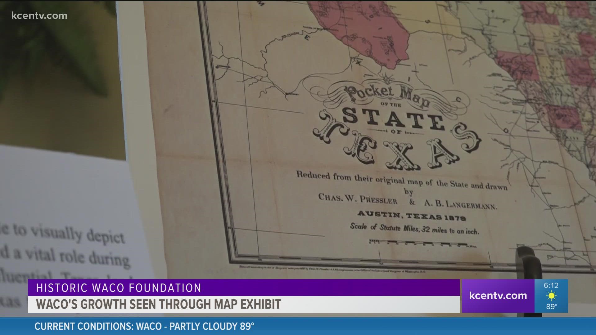
The foundation has opened a new exhibit up at the East Terrace Museum called “Expansion: A Study of Growth in Texas and Waco from 1840-1920.” With a collection of maps, it takes you back to the Victorian era when Waco and the rest of the country really started developing.
Katherine Kiesling and Laine Harper are interns for the HWF historic, as well as the exhibits curators and designers. The two Baylor University students spent the majority of their summer working on the project. They hope people visit to learn about the Waco roots that made Waco the bustling city it is today.
"The things that people kind of recognize in the back of their mind but never have really gotten to see 100 years before we existed," said Harper.
"There's just these really interesting moments where it could've gone this or that way and it ended up being very definitive and helpful for Waco's growth," said Kiesling.
Maps from the early 1840s through 1920s show a bigger picture of the major events and establishments that prompted growth in Waco.
Both Kiesling and Harper believe the city's deep history is the reason for success in Central Texas today. They have enjoyed the project and learned a lot about the city along the way.
"Watching how the city has changed so drastically around major events like Baylor arriving in Waco, or the reservation opening, or just how the Chisolm Trail and bridges, so seeing how quickly the tide can turn for a city and how it changes around those events," said Kiesling.
The maps outline how suburban areas have developed or moved, have been gentrified or have been divided by racial lines, and more.
"It was one of the stepping stones to get to where we are today even though our timeline doesn't match up to that, it's just a focus on the bigger picture," said Harper.
The exhibit will be open through the end of September and the cost is included in the regular East Terrance Museum admission.
The maps on display were either donated or came from the Texas Collection at Baylor University.